價格:免費
檔案大小:167.3 MB
版本需求:需要 iOS 10.0 或以上版本。與 iPad 相容。
支援語言:英語

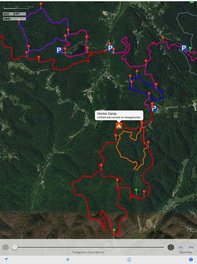
JMF Trails Pro, designed specifically for the iPad, shows the entire trail system at Jefferson Memorial Forest, located in Louisville, Kentucky. It's an ideal way to plan your next hike or run on these beautiful trails. The app uses detailed 7.5-minute topographic maps (showing 10-foot elevation contour lines) as a background for over 35 miles of trails. The maps are incredibly accurate and helpful for hiking, trail running and orienteering. The app also uses the location services (GPS), when available, to show the user location on the trail, altitude (above sea level) and magnetic heading. For those new to the JMF trail system, this is an excellent tool for becoming familiar with the more than 35 miles of beautiful trails in this forest.

Included on the map are all parking locations, campsites and all trail markers. The user can switch between topographic and satellite base maps, or overlay the topographic map onto a regular street map or satellite imagery.

支援平台:iPad
